NC 73 Transportation and Land Use Plan
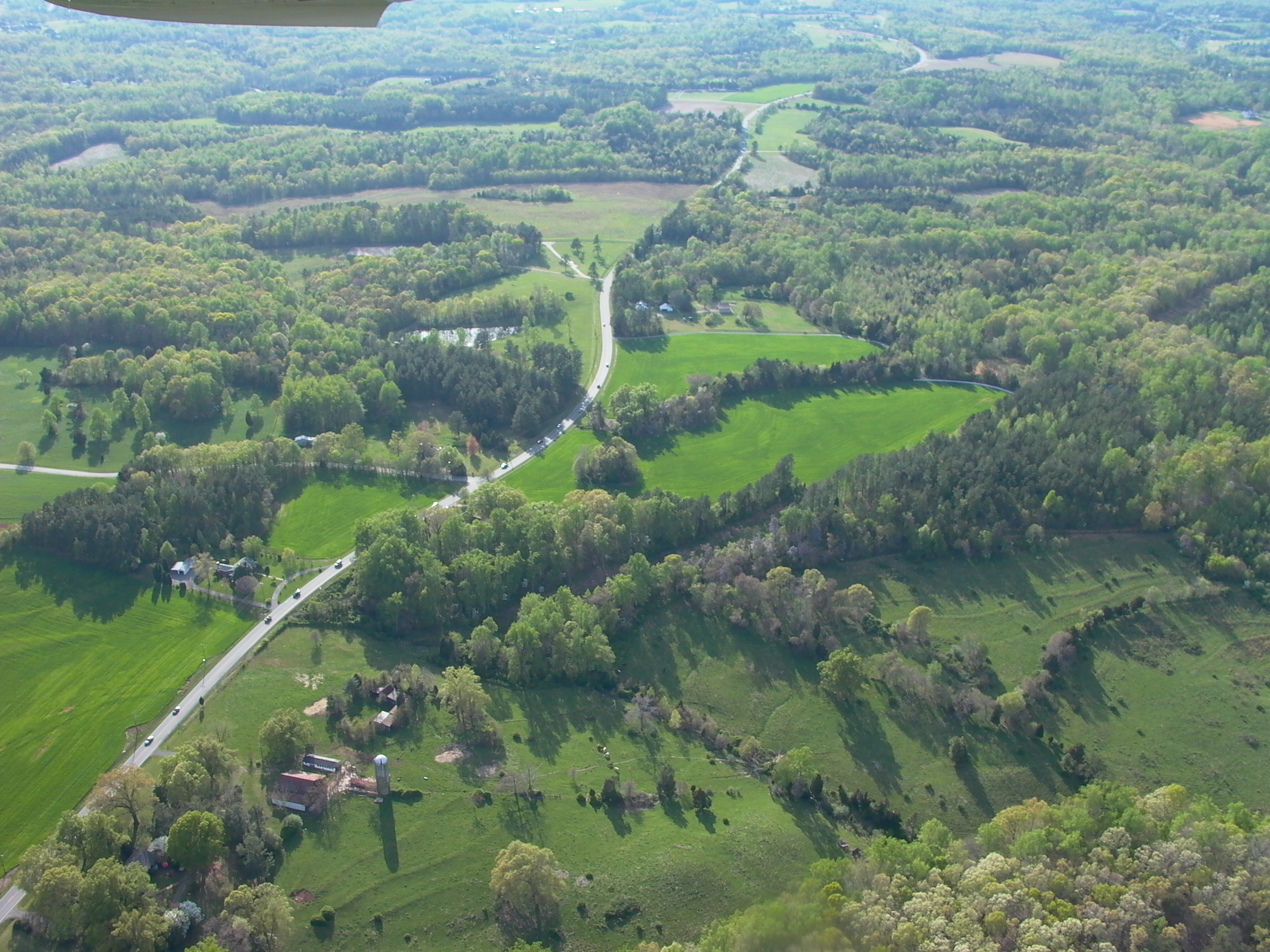
The NC 73 Transportation Land Use Corridor Plan is a coordinated land use and multi-modal transportation plan for a 35 mile corridor supported by three counties, five municipalities, three chambers of commerce, two metropolitan planning organizations, two NCDOT divisions and NCDOT’s Transportation Planning Branch. It is an innovative project, for implementation jointly by the local governments and the North Carolina DOT, integrating the local jurisdictions’ land use plans with strategic regional transportation needs.
Project Goal
Design a comprehensive land use, urban design, and transportation plan that incorporates existing and anticipated land use and transportation patterns for the eight local governments along the corridor.
